Trails
Take A Hike In Western North Carolina
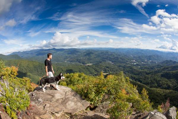
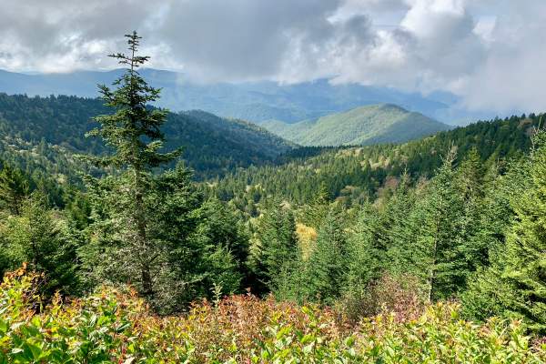
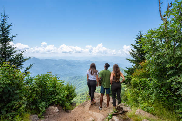
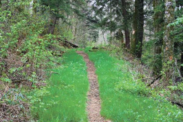
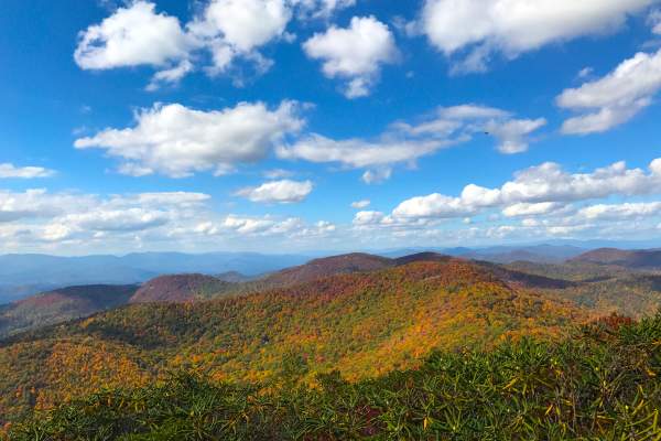
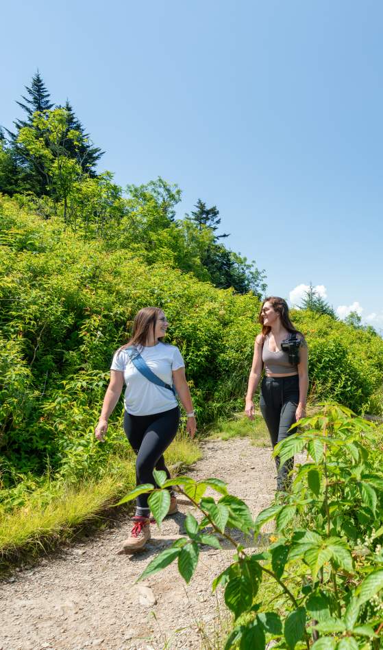
Enjoy short, family-friendly walks or more strenuous treks along the Appalachian Trail. With wildlife, waterfalls, and outstanding vantage points, our trails pay off at every turn.
Need maps? No problem. Find them all here.
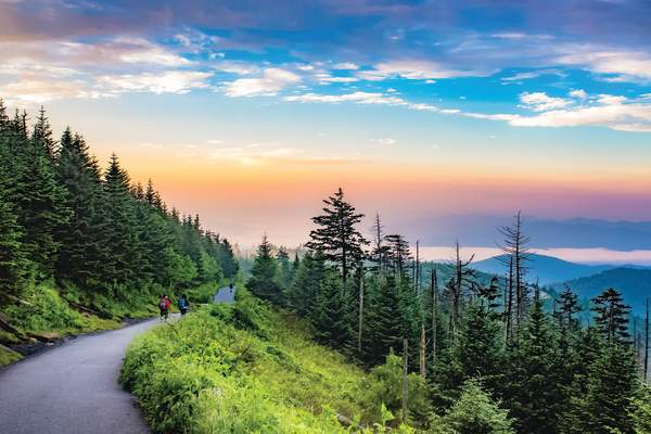
A well-maintained 3.6-mile there-and-back hike with sweeping views of the North Carolina Mountains, ascending 900 feet. Directions to Location From the Oconaluftee Visitor Center in Cherokee head North on US-441 for 15.5 Miles Turn left onto Clingmans Dome Road and travel 6.4…
A serene 6-mile trek perfect for casual hikers with plenty of shade along the way. Camping opportunities are available along the Chattooga River. Directions to Location From the intersection of NC 107 and US 64 in Cashiers, drive 7 miles south on NC 107 Turn right on Bull Pen…
A scenic 2.5-mile there-and-back trail located along the Blue Ridge Parkway, featuring wildflowers and chirping birds. Directions to Location Follow US-23 N \/ US 74 \/ Great Smoky Mountains Expressway for 10.7 Miles to Balsam Gap Blue Ridge Parkway Entrance Turn Left onto Blue…
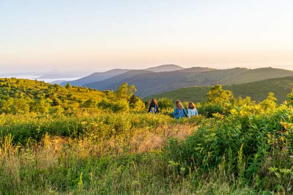
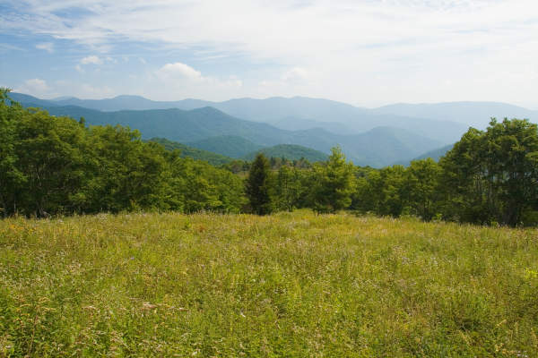
Black Balsam Trail scales Black Balsam Knob, one of the greatest hikes along the Blue Ridge Parkway with treeless mountaintops. Directions to Location Drive East on US 23/74 for 8.9 miles Turn left to enter the Blue Ridge Parkway Proceed toward Asheville to…
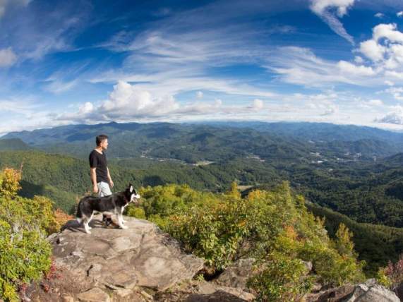
A short but strenuous half-mile trail to a summit with panoramic views of four states. Directions to Location Drive east on US 23/74 for 8.9 miles Turn left to enter the Blue Ridge Parkway Proceed toward Asheville to milepost 422.4 Trails and Waterfalls can be…
A short but steep climb to the top of the highest point in the Great Smoky Mountains National Park at 6643 feet. Directions to Location From the Oconaluftee Visitor Center in Cherokee head North on US-441 for 15.5 Miles Turn left onto Clingmans Dome Road and travel…
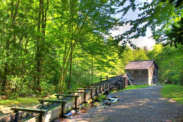
A leisurely 5.8-mile there-and-back hike through the Smokies, traversing the crystal-clear waters of Mingus Creek. Directions to Location From the Oconaluftee Visitor Center in Cherokee head North on US-441 for .7 Miles Turn Left and follow signs for Mingus Mill…
One of the most difficult hikes in the Smokies, ascending 3000 feet over a 12-mile round trip, with stunning views from Myrtle Point. Directions to Location From the Oconaluftee Visitor Center in Cherokee head North on US-441 towards Gatlinburg\/Pigeon Forge for 19.8 Miles…
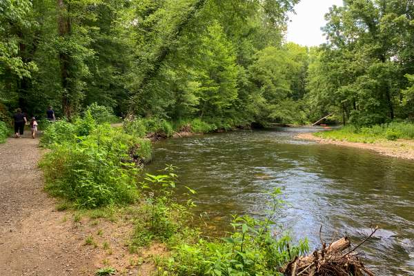
A family favorite, this 1.5-mile long trail runs along the Oconaluftee River, offering scenic views and wildlife spotting opportunities. Directions to Location Walk behind the visitor center Head towards the Mountain Farm Museum Picked up the trail at the far…
A well-marked trail that offers panoramic views from Old Bald Ridge, suitable for all hikers. Directions to Location From downtown Sylva, turn on Grindstaff Cove Road and follow it past the Justice Center to its intersection with US 23 North/US 74 East Travel…
Known as the 'Yosemite of the East,' this trail offers scenic riverside hikes and waterfall views within 6311 acres of rugged backcountry land. Directions to Location: Salt Rock Gap Trailhead From the NC 107/US 64 junction in Cashiers, take US 64 east for 2 miles to…
A 7-mile trek ascending more than 3000 feet, offering incredible views of the mountains from the top. Directions to Location: From downtown Sylva, turn left onto Business 23 (Asheville Highway) at its intersection with NC 107. Turn left again onto Skyland Drive at…
A 1.5-mile loop trail through a spruce-fir forest, climbing about 700 feet to the highest peak on the Blue Ridge Parkway. Directions to Location From downtown Sylva, turn left on Grindstaff Cove Road and follow it past the Justice Center to its intersection with US 23…
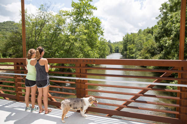
A one-mile trail along the Tuckasegee River, offering recreational opportunities for runners, walkers, and cyclists. Trails and Waterfalls can be dangerous; take no chances, only photos for memories. Read our Safety and Insider tips to have a safe, fun and enjoyable…
A steep 1.2-mile round trip hike to the 6292-foot summit, with several vantage points offering views up to 50 miles. Directions to Location From downtown Sylva, turn left on Grindstaff Cove Road and follow it past the Justice Center to its intersection with US 23 North/US 74 East…
A 1.33-mile hike to a grassy gap, popular for blueberry picking and easy hiking, with a view of Caney Fork Valley. Directions to Location From downtown Sylva, turn left on Grindstaff Cove Road and follow it past the Justice Center to its intersection with US 23 North/US 74 East…
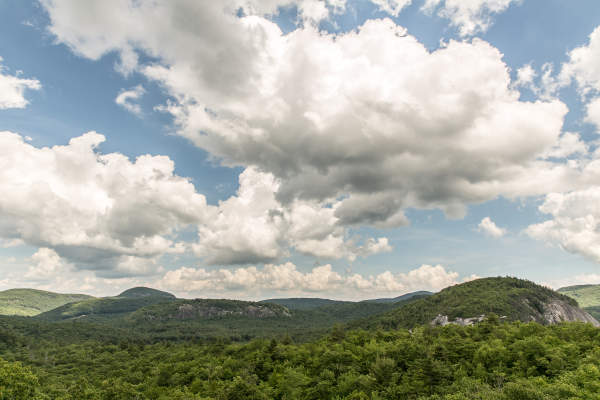
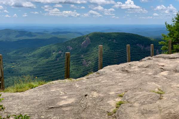
A moderate 2-mile loop trail offering panoramic views from the 4930-foot crest of Whiteside Mountain, featuring the highest cliffs in the eastern U.S. Directions to Location From downtown Sylva, travel south on NC 107 to the intersection of NC 107 and US 64 in Cashiers To climb…
A challenging 12-mile round trip trail with a fire tower at the top, offering stunning 360-degree views of the terrain below. Directions to Location From the intersection of NC 107 and US 64 in Cashiers, drive 7.3 mi west on US 64 Turn right on Buck Creek and go 2.2 miles…
Outdoors
Rivers & Lakes
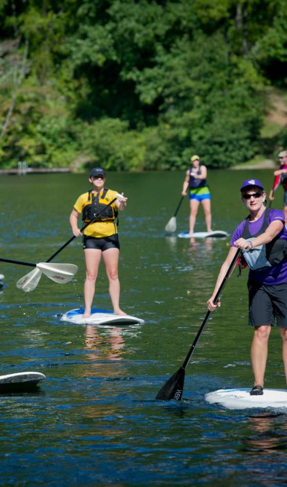
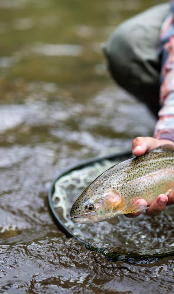
The Tuckasegee River is a fly-fisherman’s paradise. And the beautiful mountain lakes along its east and west forks…
Fishing
Jackson County is home of the Western North Carolina Fly Fishing Trail®, which maps out 15 prime spots to catch…
Waterfalls
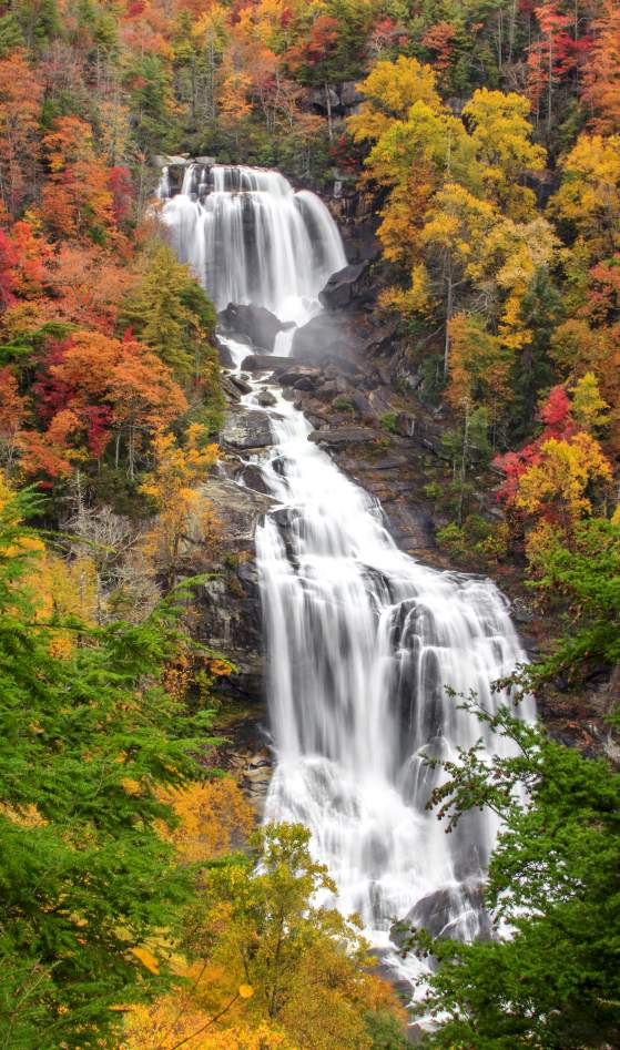
You want waterfalls? We got ’em. Some can be spotted with just a short walk, while others take a little more…
Trails
Enjoy short, family-friendly walks or more strenuous treks along the Appalachian Trail. With wildlife, waterfalls, and…
Plan Your Visit
Whether you’re looking to explore the great outdoors, experience Appalachian arts and culture, or simply relax in a secluded cabin, Jackson County has it all.
