Hiking
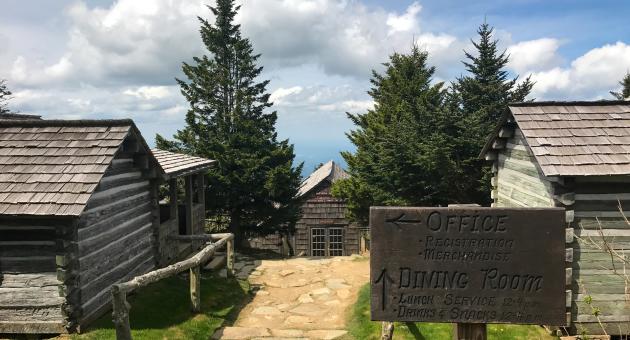
Mount LeConte Trail
- Difficulty
- Difficult
- Distance
- 11 ml
- Duration
- 7 hr
- Ascent
- 2763 ft
- Descent
- 2763 ft
1420 Fighting Creek Gap Rd, Gatlinburg, TN 37738
Best Time of Year: Mar 01 - Oct 31
One of the most difficult hikes in the Smokies, ascending 3000 feet over a 12-mile round trip, with stunning views from Myrtle Point.
Directions to Location
- From the Oconaluftee Visitor Center in Cherokee head North on US-441 towards Gatlinburg\/Pigeon Forge for 19.8 Miles
- Take a Slight Right into parking lot for Alum Cave Bluffs Trailhead
Trails and Waterfalls can be dangerous; take no chances, only photos for memories. Read our Safety and Insider tips to have a safe, fun and enjoyable trip to Jackson County.
Leave No Trace — Seven Principles
1. Plan Ahead and Prepare
2. Travel and Camp on Durable Surfaces
3. Dispose of Waste Properly
4. Leave What You Find
5. Minimize Campfire Impacts
6. Respect Wildlife
7. Be Considerate of Other Visitors
For more details, visit www.lnt.org
©1999 by the Leave No Trace Center for Outdoor Ethics
Mountain ViewsChallenging Ascent