


Wet Camp Gap Trail
A favorite blueberry-picking destination, the well-established trail takes about 30 minutes each way.
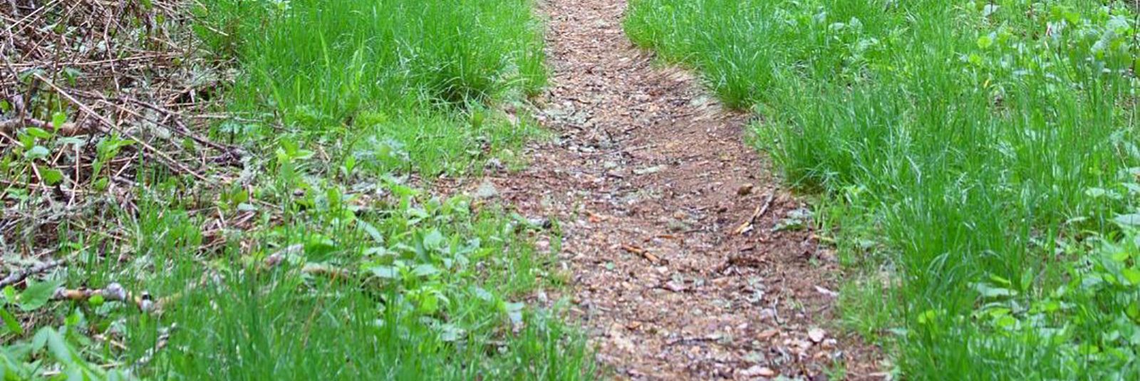
Wet Camp Gap is a long, grassy gap in Rich Mountain. The 1.33-mile hike from the parking area to the Gap is an easy one with only a 60-foot elevation change along the way. Hikers may want to extend their trips a half-mile west to Gage Bald. One of several peaks over 5,500 feet on Rich Mountain ridge, Gage offers a view down Caney Fork Valley toward Cullowhee. Click here to view/download the Wet Camp Gap Trail topographic map.
Contact Information

View more hikes on the Jackson County hiking/trail map (download).
Trails and Waterfalls can be dangerous; take no chances, only photos for memories. Read our Safety and Insider tips to have a safe, fun and enjoyable trip to Jackson County.
Leave No Trace — Seven Principles
1. Plan Ahead and Prepare
2. Travel and Camp on Durable Surfaces
3. Dispose of Waste Properly
4. Leave What You Find![]()
5. Minimize Campfire Impacts
6. Respect Wildlife
7. Be Considerate of Other Visitors
For more details, visit www.lnt.org
©1999 by the Leave No Trace Center for Outdoor Ethics
Visitor Guide

Are You Ready?
Request our free visitor guide and find out all there is to do in Jackson County
Get Our Free Visitor Guide


